Otukaikino Control Site
Waterway
Otukaikino River
Geolocation
-43° 26' 7.5516", 172° 38' 5.622"
Location Description
10.5m downstream from the road culvert
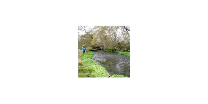
Site Description
The site has an average width of 10.35m wide. Emergent macrophytes extend into the stream on the true right side of the stream, with grass on the lower bank, and exotic trees/shrubs lining the upper bank. Emergent macrophytes extend into the stream on the true left side, where the bank borders open farmland. The riverbed is covered with gravel and small cobbles, with some emergent macrophytes.
Otukaikino Invertebrate Control
Otukaikino Invertebrate Control
Copyright
Styx Living Laboratory Trust
Related Research