
Mapping Project
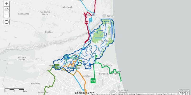
We have recruited two postgraduate students from Lincoln University to create a dynamic and engaging map that displays data such as bus routes, walking tracks, park locations, planting sites and much more! This is a joint project between SLLT and Lincoln University.
This project is split into two parts. Part A focuses on finding key baseline data and Part B focuses on creating spatial data.
Project Objectives are:
- To encourage learning, research, collaboration and interaction;
- Demonstrate environmental, social and cultural sustainability;
- Integrate cultural and historic values and principles;
- Increase accessibility of spatial data and enhance public awareness of the Pūharakekenui Catchment.
This project is due to be completed at the end of October 2022.
Check back in shortly to see our new user-friendly map.
This work has been funded by the Discretionary Response Fund.
Contact - beth@thestyx.nz for more information.