Brooklands
Waterway
Styx River
Geolocation
-43° 24' 45.8028", 172° 41' 33.0396"
Location Description
Picnic area at boat ramp; approximately 3 km up stream from the tidal gates.
Site Description
The Styx River is approximately 10 metres wide and subject to tidal influence. Harakeke line the true right bank upstream of the site, willow trees line the bank downstream. The true left bank borders open farmland. Riverbed: covered with macrophytes; large rocks form the base of the true right bank.
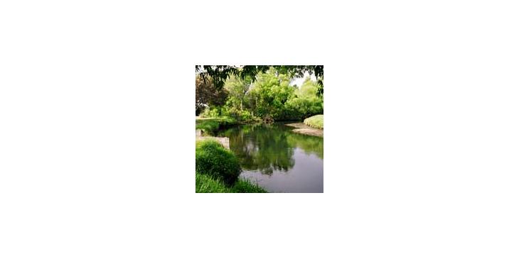
Brooklands area picnic area at area boat ramp
Brooklands area picnic area at area boat ramp
Copyright
Styx Living Laboratory Trust
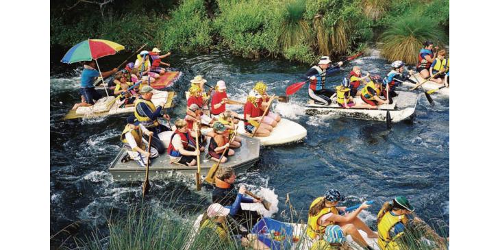
Starting Frenzy Annual Brooklands Raft Race
Held each year on the first Sunday in February, is the Annual Brooklands Raft Race.
Date
March 2007
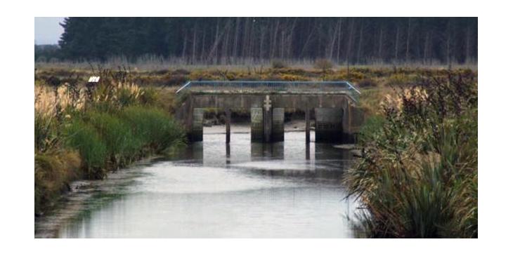
Floodgates
Floodgates on the Styx River downstream from Harbour Road
Copyright
Christchurch City Council
Brooklands area picnic area at area boat ramp
Brooklands area picnic area at area boat ramp
Copyright
Styx Living Laboratory Trust
Starting Frenzy Annual Brooklands Raft Race
Held each year on the first Sunday in February, is the Annual Brooklands Raft Race.
Date
March 2007
Floodgates
Floodgates on the Styx River downstream from Harbour Road
Copyright
Christchurch City Council
Related Research