Styx Mill Conservation Reserve
Waterway
Styx River
Geolocation
-43° 27' 49.05", 172° 36' 12.3984"
Location Description
Approximately 100 m downstream from the footbridge, on the true left bank.
Site Description
Approximately 4 m wide with a silt base up to 70 cm deep. Streambed: predominately covered in macrophytes.
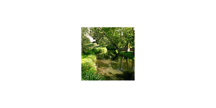
Styx River at Styx Mill Conservation Reserve
Collection spot for monitoring data on the Styx River at Styx Mill Conservation Reserve.
Copyright
Styx Living Laboratory Trust


