Redwood Springs Site 2 - discontinued
The three Redwoods Springs water quality monitoring sites were set up to investigate the effects of the mall construction nearby. Redwoods 2 and 3 were located after the construction site run-off entered the river. We could therefore measure the water quality at these sites and compare the data to Redwoods 1 (located before the run-off entered the river) to see what effect the construction site was having on the health of the river.
With the construction of the mall now complete and all relevant data collected, we have discontinued the monitoring of the Redwood Springs sites and have started monitoring in three other locations along the Styx River and its tributaries.
The river is approximately 3m wide. The riverbed is silt/sand, with substantial macrophyte growth. The true right bank is low with grass/herb mix. The true left bank is steep with grass/herb and blackberry. Willow trees are just above the top and bottom markers. Storm water runoff enters the river above the top mark, from the market garden above the true left bank.
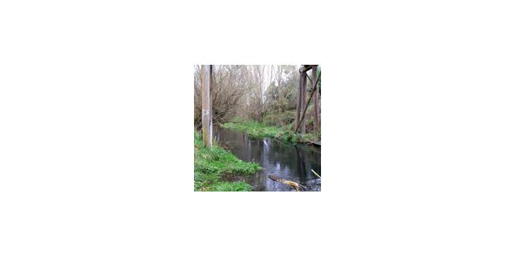
Redwood Springs Site Two, Styx River
Redwood Springs Site Two, on the Styx River, Christchurch, New Zealand. Almost under the railway bridge.
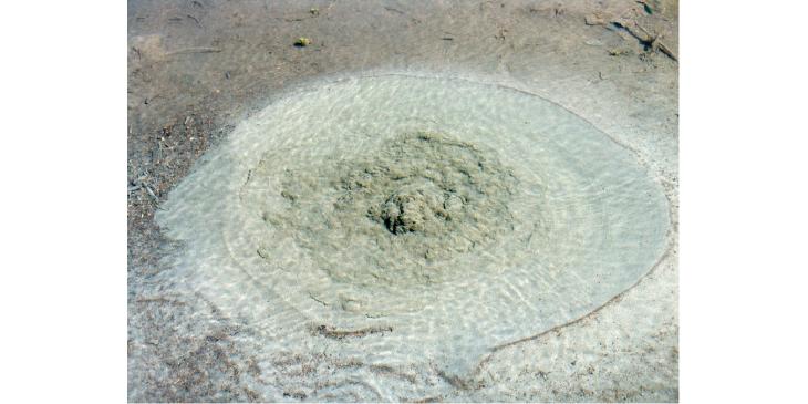
Redwood Spring
Redwood spring downstream of the railway bridge